Moores Mill Road – Mayo River Access
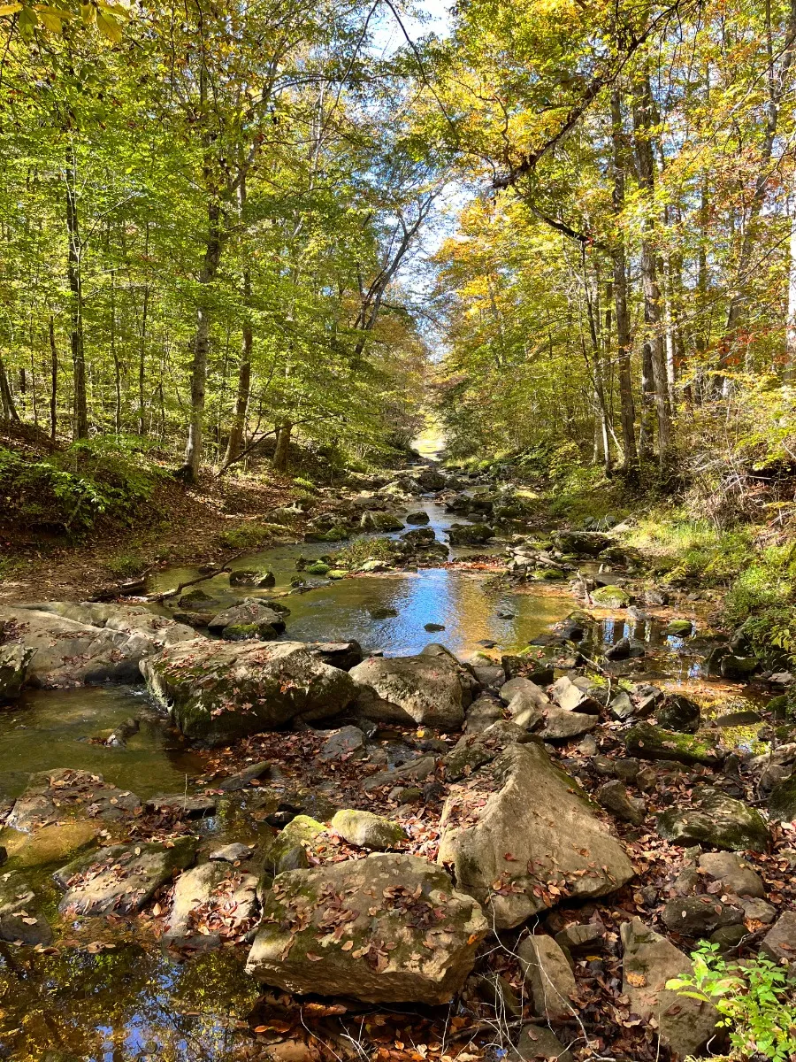
This access of the North Fork of the Mayo River is located downstream, on river left of the bridge. Limited parked along the side of Moores Mill Road. Class II section, with drops and ledges, check water levels for suitable water levels.GPS: 36.3403, -79.5915
Accessibility Overview: Hand Carry, steep access from the shoulder of Moores Mill Road.
Nearby Places to Explore
2 miles range
1 mile2 miles3 miles4 miles5 miles6 miles7 miles8 miles9 miles10 miles
Location & Map
Find this place on Google Maps and get turn-by-turn directions before you go.
Moores Mill Road – Mayo River Access
Moores Mill RdVirginia, USA