


Matrimony Creek Greenway
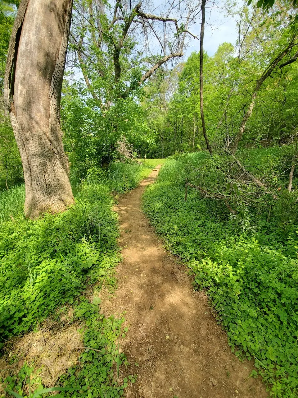
This two-mile hike begins on a wide gravel greenway and leads to a dead end in Matrimony Creek, where you will find a large cascading rapid in the creek!
“In 1728, when William Byrd was surveying the boundary line between the colonies of North Carolina and Virginia, he wrote in his diary that Matrimony was ‘call’d so by an unfortunate married man because it was exceeding noisy and impetuous.’ – Dan River Basin Association.
Accessibility Overview: The trail is composed of gravel and packed turf, suitable for strollers and casual walkers. While uneven in places, it’s generally navigable for those with moderate mobility. ~32 ft elevation gain, offering a gentle and manageable route for most users. Amenities include picnic tables and restroom access.
Nearby Places to Explore

































Services
Amenities
Accessibility
Location & Map
Find this place on Google Maps and get turn-by-turn directions before you go.

Google Reviews
 Kindra Wheeler
My son and I love walking this trail and looking at the waterfall at the end of the trail.
May 15, 2026 · Google Review nida Ploy
It's a nice nature walk along the creek and we took the trail as well. The trail has a nice climb, too.
Apr 29, 2025 · Google Review Charles McWilliams
Nice neat trail, easy day walk for all ages. Nice scenic views. And probably the cleanest bathrooms I've ever seen on a public nature trail.
Aug 28, 2022 · Google Review B Shumate
Nice wide gravel trail that is well maintained and a level easy walk following beside the creek. Small waterfall at the end of the one mile trail.
Mar 14, 2023 · Google Review Meika
MeikaBeautiful hiking trail. when you get to the end of trail there is a gorgeous waterfall that you can enjoy
Jul 4, 2023 · Google Review